Client: Stantec Consulting Services, Inc.
Project Type: Hydrographic Survey
Project Location: Hernando County, Florida
Services Provided: Multibeam Swath Bathymetry, Single Beam Bathymetry
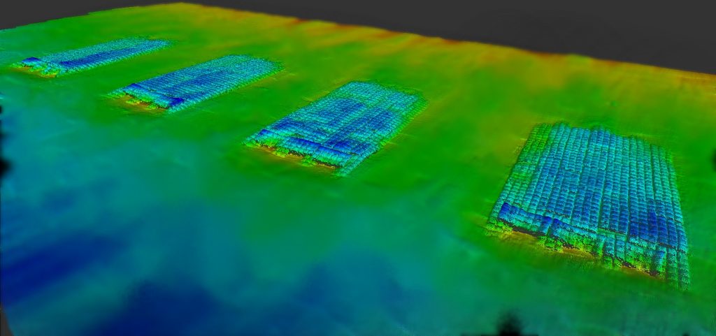
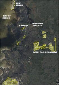
Between November 2024 and March 2025, Morgan & Eklund, Inc. (M&E) was subcontracted by Stantec Consulting Services, Inc. (Stantec) to provide professional survey services for Hernando County. The scope of work included establishing survey control for canals Sub-Area 1 to Sub-Area 6, performing multibeam surveys and single beam surveys for these six sites totaling 36-line miles of coverage area.
The strategy for providing the client with maximum coverage and resolution of the survey sites consisted of multibeam surveys providing coverage for areas where the water depth was greater than -5 feet, while areas where water depth was between -2 and -5 feet were captured using single beam survey techniques.
 M&E established horizontal and vertical control from NGS monumentation for each survey site group. These control points were used for GNSS RTK base station corrections, tide staff deployment, and equipment calibration and verification.
Canal survey area 1 was an expansive network of residential channels. For this area, M&E utilized a 21’ survey vessel equipped with a specialized shallow water Teledyne Odom MB1 200 kHz multibeam echosounder coupled with a Trimble POS M/V GNSS IMU positioning system. Sound velocity calibration was achieved using an AML-3 sound velocity profiler. Horizontal accuracy was confirmed by position checks from comparison to a calibrated RTK rover system. Vertical accuracy was confirmed by a tide staff set using differential leveling from site control and read at 15-minute intervals for the entirety of the survey. GNSS RTK accuracy was confirmed at the start and end of each survey session via control checks at site monumentation.
Canal areas 2 through 6 utilized single beam survey equipment consisting of a 16’ aluminum skiff with Trimble SPS852 GNSS RTK system integrated with a Teledyne Odom E20 multi-frequency single beam sonar system at 200 kHz. Additional hand soundings were taken via GNSS RTK rover system to describe shoal areas. Horizontal and vertical accuracy of the equipment was verified using the same techniques as the multibeam survey.
Deliverables included drawings in AutoCAD and Adobe PDF formats showing survey contours, bathymetry maps, and TIN surfaces describing the various sites. XYZ data files were also provided.