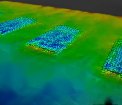
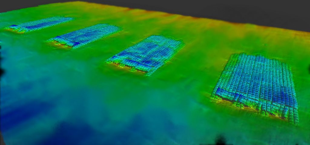
M&E continues refining the art of drafting. As a topographic and hydrographic survey company collecting data on a daily basis, there is an equally, if not more important job of displaying that information. While the drafting tables have been replaced with small super computers, the craft has evolved. With the aided efficiency comes complexity. What may have taken hours to draw up by hand now takes seconds, however the level of analysis capable is powerful. Millions of data points are collected in a single day. M&E’s CAD Technicians are able to convert these points into a visual and informative story by means of software such as AutoCAD Civil 3D. We hold true to the art, having over 36 years of experience and creating the essential documents Engineers, Planners and Analysts need to make informed decisions.
- AutoCAD Civil 3D
- AutoCAD Raster Design
- ESRI ArcGIS
- MicroStation v. 8i
- Bentley Open Roads Designer

