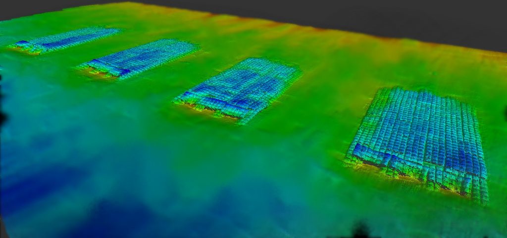
Morgan & Eklund, Inc. has been collecting data from the ocean for 38 years. Bathymetric elevation data and the digital terrain models (DTM) derived from that data are utilized for planning of dredging and navigation projects, computation of erosion and accretion rates and for port and harbor improvement projects. The data can be collected using one of our single beam fathometers or multibeam systems dependent on the purpose of the bathymetric survey data which may include depth clearance, pre- and post-dredge volumetric calculations, offshore sediment borrow area quantities, and post-storm beach erosion analysis.
Hydrographic Surveys We Perform
- Multibeam Swath Bathymetry
- Single Beam Bathymetry
- Single Beam, Dual-Frequency Bathymetry
- Side Scan Sonar
- Sub-bottom Profiler
- Magnetometer
- Vessel-Mounted ADCP Surveys
- ADCP Current Studies
- Reef Mapping and Monitoring
- Seagrass Mapping
- Sediment Depth Mapping
- Dredging Support
Geophysical surveys are performed to locate hardbottom/reef areas, pockets of beach compatible sediment, and any signs of historical shipwrecks, debris fields or submarine cables. Acoustic Doppler Current Profilers (ADCP) are utilized to measure waves, currents and tides. They can be deployed on the bottom using a concrete stand or attached to a pipe jetted into the bottom. Ultimately the ADCP data is used by engineers to model sediment transport around tidal inlets.
