Under the terms of our professional services agreement with Martin County, Morgan & Eklund, Inc. (M&E) performs coastal monitoring surveys of the Martin County shoreline along previously established FDEP Range Monument Profile Alignments.
The overall scope of this large-scale topographic/bathymetric Martin County mapping project requires measuring beach, nearshore and offshore profiles along the 139 FDEP profile alignments which are located approximately one thousand feet apart and extend from the top of the dune offshore to about minus thirty feet or 3000 feet offshore.
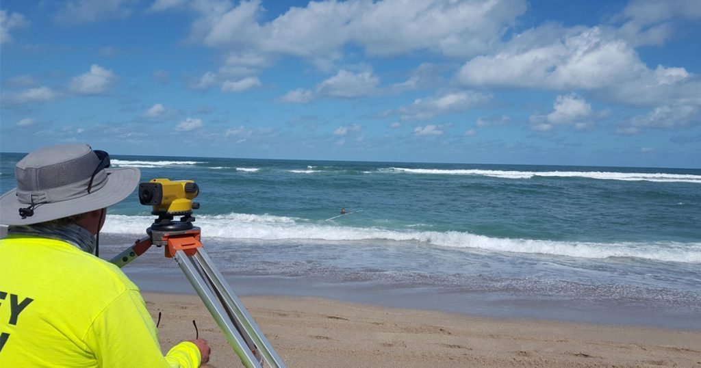
For the Martin County project, M&E collects the offshore elevation data with a state-of-the-art bathymetric charting system consisting of a 26’ Parker survey boat utilizing a Real-time Kinematic GPS system and Digital Fathometer to provide position and sounding data. Water surface elevations are measured by the RTK/GPS system and verified to a tide staff elevated from an FDEP Range Monument using differential leveling. Hypack navigation software displays the positioning of the boat along the profile line collecting the sounding data and applying the heave pitch and roll compensation to make corrections for the motion of the boat as it’s collecting the sounding data. At the same time, the survey crew is also monitoring a tide staff or tide gauge on the beach which is referenced to the elevation datum that the boat GPS is referenced to. “We’ve got a lot of things going on at the same time, which is why the survey process isn’t as straightforward as one would imagine it to be,” John added.
Quality control procedures for the onshore and offshore profiles include closed-loop level runs, calibration of echo sounders using a ‘bar check’, verifying the correlation between onshore and offshore profiles in the overlap area and comparison of the recent profiles with historical data sets. Once the surveys are completed, engineers review the profile data and write a comprehensive physical monitoring report that identifies erosion hot spots using the mean high-water shoreline changes and volumetric calculations of erosion/accretion. The data and reports they provide help the county map a plan forward by identifying areas of the coastline that need attention due to erosion issues.
