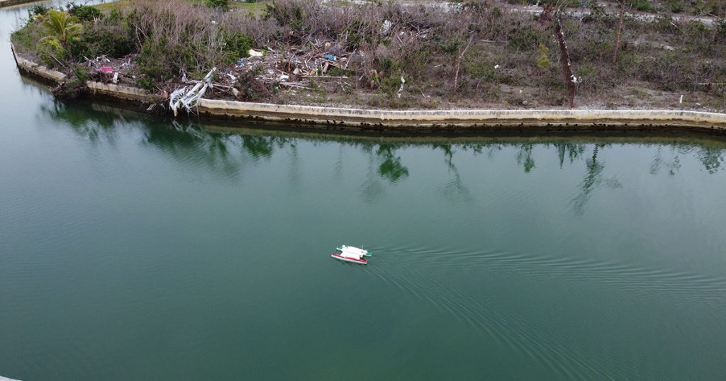
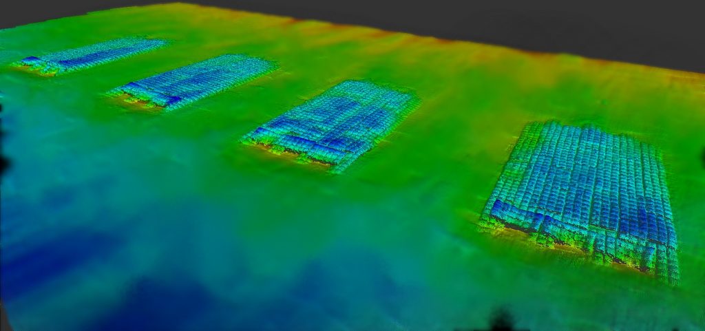
Autonomous Surface Vehicles (ASVs) are becoming the tool of choice to gather erosion vs. deposition data, slumping data, and gravitational failure data by marine coastal surveyors. Why? Because ASVs provide greater efficiency and automated precision compared to traditional crewed efforts.
Sure, the days when measuring the depths of the ocean with lines fixed with lead weights and using sextants to determine positions are long gone. But, using crewed vessels or boats to slowly cruise a square foot of area while bouncing sonar waves into the ocean is fast becoming obsolete as well.
The traditional, personnel-heavy method of collecting marine data is tedious and time-consuming and the use of ASVs allows operators to streamline topside support.
The Types of Hydrographer Tools That the ASVs can be Equipped with:
- Single and multibeam echo sounders
- Side-scan sonar
- LiDAR
- RTK GPS
- Seismic-reflection systems
Coastal Survey Data That ASVs Can Collect:
Slumps and Gravitative Failures
A slump, in a submarine canyon, is when sediment and organic matter is built up into an unstable or precarious heap, causing the sediment or debris to sporadically slide down the heap in the manner of a landslide causing large waves or even a tsunami.
The gravitative failures are when sea cliffs are exposed to constant erosion, creating stress-release fractures that cause large blocks of sea cliffs to break off, also, causing large waves or a tsunami.
These submarine landslides and block fracturing can cause problems near or at the seashore for residential, commercial, or industrial properties, sometimes, even threatening lives. This type of data makes it important for developers to know where it is safe to build their structures.
Sand Erosion
Again, industrial, commercial and residential developers planning to build on or near a beach may need to know how much erosion happens and in what amount of time when planning their structures. The same applies for coastal restoration measures designed to protect and strengthen existing structures. Ongoing planning of this nature hinges on determining how much sand needs to be replenished over time to mitigate against tidal forces and other erosion.
Sand Deposition
Identifying sand deposition is a critical part of sand sourcing for erosion control. Sand is becoming increasingly hard to “borrow” from offshore areas. In short, the identification, measurement and sample analysis of sand deposits is essential to coastal infrastructure, including the maintenance of shipping lanes and waterways.
Other industries, such as the fishing industry, may be interested in sand or sediment deposition data also. Sand or sediment deposition data can tell boaters or fishing vessel operators where sandbars are or where they are likely to appear in time.
This data can also tell fishing vessel operators where sea life might be. Sand and sediment absorb more solar heat than water, raising the temperature of the water. If a fishing boat operator is looking for sea life that lives in colder water, knowing where areas of sand depositions are may help direct the captain to the sea life they seek.
Using an ASV can provide precise and accurate data, for these types of ocean phenomena, in a shorter amount of time but, also, in a cost-effective way.
Precision, Cost-Effectiveness, and Efficiency of ASV Hydrographic Survey:
- Eliminates human error
- Reduces the need for personnel, minimizes operational overhead, and lessens vessel setup time
- An ASV can navigate where traditional survey boats cannot:
- Hazardous waters and conditions
- Restricted access areas
- Shallow waters
- Data can be processed in real-time
- Greater areas can be surveyed more efficiently
- The ability to have a preset survey plan leaves time for other tasks
The immediate and long-term effects of adopting this technology are, of course, keeping people of harm’s way and preserving property and structures for a long time to come. And, because this is a cost-effective, efficient marine coastal survey tool, ASVs are likely to rewrite the hydrographer’s playbook for decades to come.
Find out more about M&E’s Autonomous Remote Services.

