In 2019, Morgan & Eklund, Inc. (M&E) was contracted by Olsen Associates, Inc. to perform multiple topographic and hydrographic surveys as part of the Brevard County Shore Protection Project. One of the key objectives of the project is to detail the ongoing post-storm impacts on coastal ecosystems in Florida, primarily through wading profiles with hardbottom mapping, onshore and offshore profiles pre- and post-event, multibeam surveys of artificial reef structures, and the inspection of dune conditions. Our 2019 – 2020 schedule of ongoing coastal surveys, detailed below, help demonstrate the breadth of scope when it comes to pre- and post-storm assessment.
M&E’s 2019 Storm Survey Recap:
- May and September: Topographic surveys of the dune along the 12+ mile South Beach project area to document routine annual conditions and to quantify erosion damage from Hurricane Dorian.
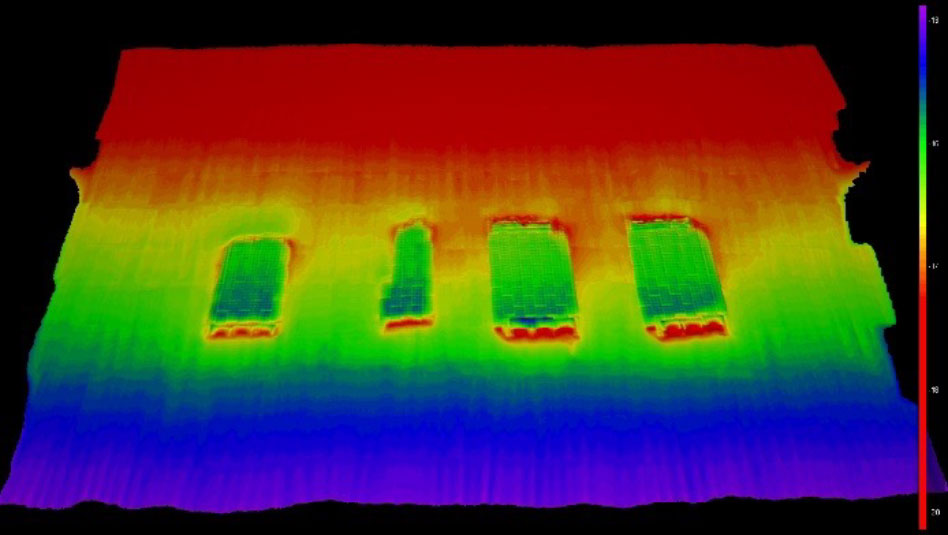
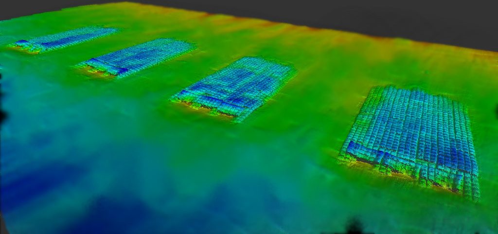
- June – July: Conducted a Year-1 post-construction high-resolution multibeam survey of 10 artificial reef sites (4.8+ acres) spaced along 5 miles of Mid Reach shoreline.
- July – August: Established STA0+00 and the alignment for each of 100 profile lines and measured elevation data at a maximum of 20’ intervals noting the location and extent of exposed rock along the 7.8-mile Mid Reach, from the dune to -6 ft NAVD88 wading depth.
- September – November: Within 2 – 4 weeks post-Hurricane Dorian, wading profiles at every third+ monument along the 21+ miles of North, Mid, and South Reach (followed by offshore profiles when seas permitted) to assess storm-induced losses and increases in fill requirements to the federal re-nourishment project.
- November: Repeated the survey at three select sites to assess changes in conditions post-Hurriane Dorian.
M&E’s 2020 Storm Survey Recap:
- February and May: pre and post-construction conditions surveys and wading/rock mapping along Mid Reach beaches
- March: Post-Construction topographic surveys of the dune along the 12+ mile South Beach project area
- June: Onshore and offshore profiles along R140-R149 along South Reach beaches
- August: Post-Hurricane Isaias wading profiles along odd numbered R-monuments R119-R137 along South Reach beaches
- August – October: Conducted a year-2 post-construction high-resolution multibeam survey of 10 artificial reef sites (4.8+ acres) spaced along 5 miles of Mid Reach shoreline.

