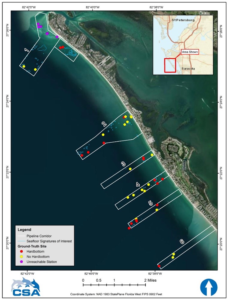
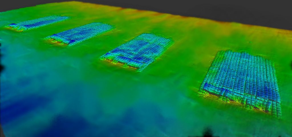
CSA Ocean Sciences Inc. (CSA) and Morgan & Eklund, Inc. (M&E) were contracted by Olsen & Associates, Inc. to clear the area for the anticipated placement of a dredging pipeline and identify any sensitive habitats and/or obstacles to be avoided. M&E deployed an EdgeTech Digital Chirp Side-Scan Sonar System to create a mosaic of side-scan imagery for the review, interpretation, and mapping of the side-scan data. A digital feature map was created for CSA to perform a ground-truth survey before the placement of dredging equipment for an anticipated beach renourishment project along the Gulf-side of Longboat Key, located in Manatee and Sarasota Counties, Florida.
CSA provided three nearshore hardbottom specialists and American Association of Underwater Scientific (AAUS) certified divers to ground-truth 36 predetermined locations within six pipeline (sub-line) corridors. CSA’s nearshore hardbottom specialists collected representative photos and videos and noted the seabed characteristics at 36 ground-truth stations to aid M&E in the post-processing of previously collected side-scan data. Seabed characteristics consisted of sediment type and topography, including the presence and characteristics of hard substrate (exposure, size, shape, and vertical relief), and prominent (dominant) biota. Hardbottom habitats with emergent biota were observed at 17 of the 36 stations and were recommended for avoidance during pipeline placement activities.

