Morgan & Eklund, Inc. (M&E) were subcontracted by Olsen Associates, Inc. (OAI) to conduct a bathymetric survey of borrow area N-1 located approximately 12 miles south of Mayport Inlet Volusia County.
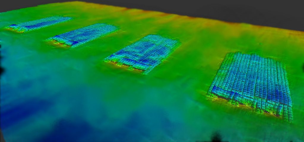
As a subcontractor to OAI, Morgan & Eklund, Inc. performed an offshore bathymetric and geophysical survey of the St. Johns County Offshore Exploration Area, N1. M&E partnered with Sonographics, Inc. to provide the geophysical collection hardware and expertise. The exloration areas are 2 to 3 miles offshore, east of Ponte Vedre, FL in approximaetly 50 feet of water.
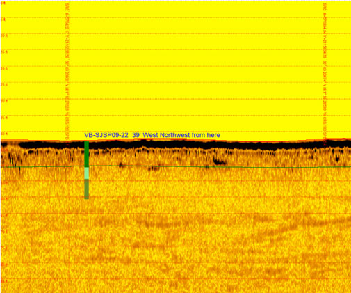
The purpose of the surveys was to detect and map any submerged or exposed cultural resources, any submerged or exposed dredging hazards, and to map beach quality sand within the survey area. The hydrographic survey was used to obtain elevation information for the seismic profiles and verification of nearby vibracore elevations. The survey was performed in federal waters with authorization from the Bureau of Ocean Energy Management (BOEM). Two certified protected species observers were aboard to observe any potential encounter with endangered or protected species of wildlife.
Completed in compliance with Florida Department of Environmental Protection (FDEP) and USACE EM 1110-2-1003 Hydrographic Surveying manual, Morgan & Eklund, Inc. collected the offshore elevation data using our state of the art bathymetric charting system consisting of a 26’ Parker Survey Boat, real-time kinematic (RTK) positioning system, Digital System Fathometer, Hypack Navigation Software, and Heave, Pitch and Roll Compensator. The magnetometer data was collected using the Geometrics Model G-882 Digital Cesium System with a built-in depth sensor and altimeter. The side scan sonar data was collected using the Edge Tech Model 4200-FS multi-pulse digital chirp system and the tow-fish utilized in the survey was the Edge Tech model SB-512i equipped with an X-Star Full Spectrum Sonar.

