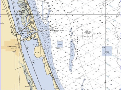
Morgan & Eklund, Inc. was hired by St. Lucie County (through Coastal Technology Corp.) for a beach renourishment project along 1.3 miles of shoreline South of Ft. Pierce Inlet.
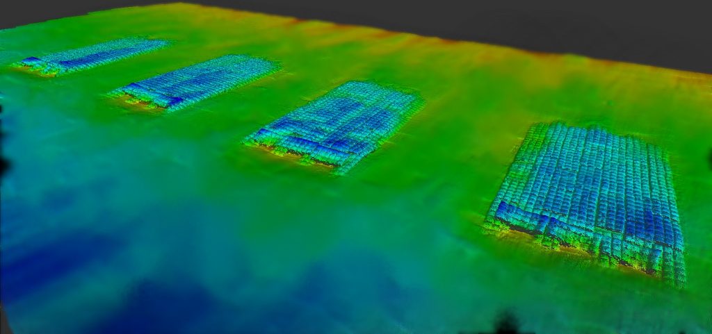
Morgan & Eklund, Inc. performed land and hydrographic surveys required for the project design, permitting and implementation. Our land survey crews established onshore horizontal and vertical control, ran onshore profiles along project and FDEP profile lines, and located the limits of hardbottom. During the offshore borrow area investigation of Capron Shoal, M&E performed a bathymetric survey, a sidescan sonar survey and a magnetometer survey of the entire borrow area limits. Sonar targets were diver verified and the results of the offshore investigation were plotted in Intergraph format.

