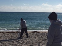
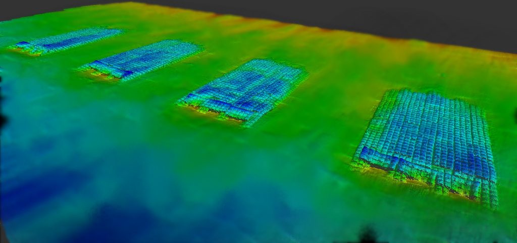
During the summer and fall of 2020, Morgan & Eklund, Inc. was contracted by Miami-Dade County to collect elevation data along 176 onshore and offshore profile lines from the FDEP coastal monitoring monument designated R-1 south to monument R-113 at the south end of Key Biscayne.
Project control was established using RTK/GPS from NGS-published survey control and the FDEP monument control points designated as A-monuments and profile line alignments were established from these control points. Onshore profile line data was collected using RTK/GPS, nearshore data was collected using a handheld laser for stationing and differential leveling for elevations out to –5 NAVD88. The offshore portion of the profile line overlapped the onshore profile about 100’ so that the onshore and offshore data could be compared for station/elevation and to check for any horizontal or vertical offsets.
Morgan & Eklund, Inc. collected the offshore elevation data using our state-of-the-art bathymetric charting system consisting of a 26’ Parker Survey Boat, Real-time Kinematic GPS System, Digital Fathometer, Hypack Navigation Software and Heave, Pitch and Roll Compensator.
Water surface elevations were measured by the RTK/GPS System and verified to a tide staff elevated from project control using differential leveling.
Quality control procedures for the onshore and offshore profiles included closed-loop level runs, calibration of echo sounders using a “bar check”, verifying the correlation between onshore and offshore profiles in the overlap area, and comparison of the recent profiles with historical data sets.

