Client: INTERA, Incorporated
Project Type: Autonomous Remote Survey
Project Location: Volusia County, Florida
Services Provided: Unmanned Aerial Vehicle Survey, LiDAR, Photogrammetry
Morgan & Eklund, Inc. (M&E) was contracted by INTERA, Incorporated to conduct a photogrammetry and LiDAR survey of a dredged material US Army Corps of Engineers (USACE) stockpile located approximately half a mile north of Ponce de Leon Inlet in Volusia County, Florida.
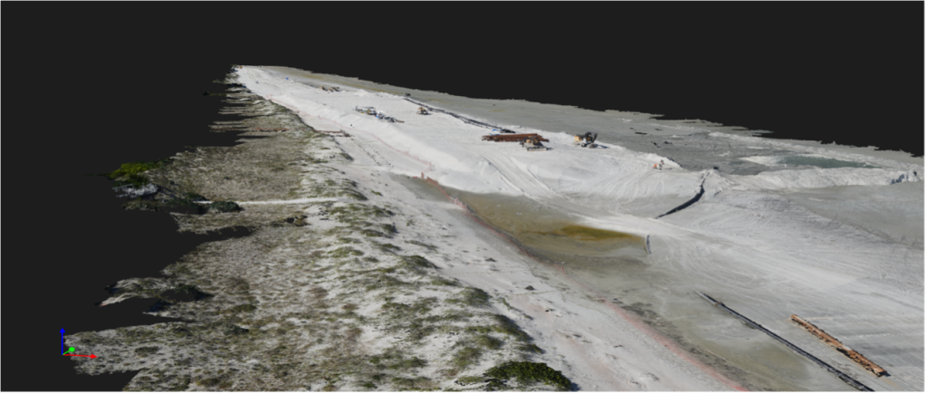 Our WingtraONE GenII Unmanned Aerial Vehicle (UAV) was utilized with an RGB61 Sony 61 megapixel full-frame 24 mm photogrammetry camera and a Hesai XT32 dual-return LiDAR scanner. UAV data accusation sensors utilized PPK corrections sourced from a local base station logging RINEX data at a 2 Hz rate. GNSS RTK rover was utilized for setting UAV ground control targets and to survey transects for ground truthing, quality control, and accuracy verification purposes.
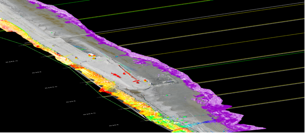
UAV data sets were processed in PIX4Dmatic, Hypack Hysweep, and TCP Cloud software. The resulting point cloud from the LiDAR and photogrammetry systems were used to generate a digital terrain model (DTM) in AutoCAD Civil 3D. The DTM was compared to the pre-construction surface for volume calculations. Certified volumes, ortho-mosaic, and 1-foot grid data set were provided to the client.