Taylor Engineering, Inc. contracted Morgan & Eklund, Inc. in the summer of 2020 to complete topographical surveys for Volusia County, Florida. These beach profiles were completed for the county’s erosion monitoring. Data was collected at every FDEP reference monument from R-125 through R-170 and at every third reference monument R-0 through R-124 and R-171 through R-208.
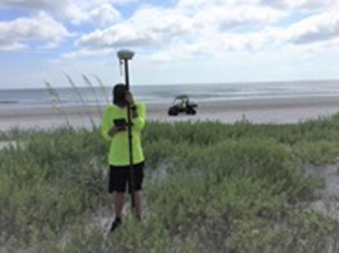
The profile line alignments were established using RTK/GPS from the FDEP monument control points designated as A-monuments. Onshore profile line data was collected using a handheld laser for stationing and differential leveling for elevations out to –5 NAVD88. The offshore portion of the profile line overlapped the onshore profile by about 100 feet so the onshore and offshore hydrographic and bathymetric data could be compared for station/elevation and to check for any horizontal or vertical offsets.
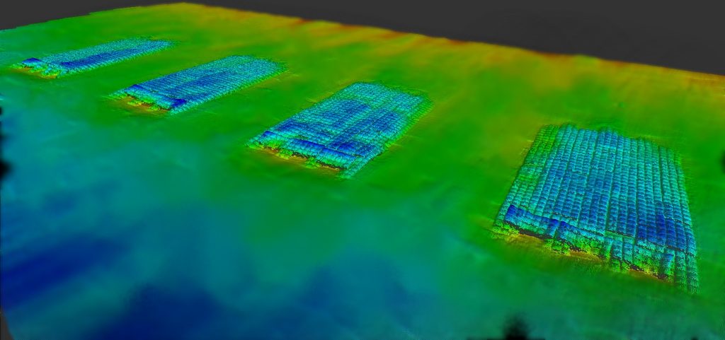
Bathymetric survey data were collected using our charting system on our 26’ Parker Survey Boat. A real-time Kinematic GPS System was used for GPS data collection, GPS data processing, and GPS data management. Additional tools used included a digital fathometer; HYPACK navigation software; and roll, pitch, and compensator.
Water surface elevations were measured by the RTK/GPS System and verified to a tide staff elevated from an FDEP Range Monument using differential leveling. Onshore and offshore beach profiles underwent a series of quality control procedures, including echosounder calibration via a ‘bar check’ and closed-loop level runs.

